 Much of choosing the proper stand site has to do with “structure.” In the same way that an angler finds the “spot on the spot,” the lay of the land and topography differences that restrict or guide movement are keys to stand placement. Whitetail travel from place to place using cover and terrain to their advantage. Learning to recognize the transition areas, access points, and travel corridors of whitetails is crucial to choosing your ambush location. In fact, if you choose the right funnel during the chase phase of the rut it can seem like “God just pulled the drain plug on a sink full of deer.”
Identifying Funnels
One of the first things you should do when approaching a new spot is to obtain an aerial photo, satellite image or topographical map. The first spots to focus on are the funnels. It doesn’t matter if you’re hunting big timber, agricultural land or rural lots; there are funnels in your hunting area. With agricultural land and more populated areas, funnels are easier located because of the sections and man-made dividers, but there are bottlenecks everywhere. Wherever you can restrict their movement to a smaller zone there will be more traffic and it’s easier to position yourself to remain undetected from their amazing sense of smell.
Subtle Variations In Terrain
Many veteran hunters like to use a topographical map in conjunction with the satellite image or aerial photo. Obstacles that help to create funnels often aren’t as blatant as a river, swamp or vast open area; they can be simple, subtle terrain variations that guide a whitetail’s movement. But just like other creatures, whitetails travel the path of least resistance and the topo map helps to locate these. Identify the areas whitetail frequent, learn to read the structure and key-in on the funnels and you’ll begin to put more notches in your bow.
For more GameKeeper tips read “5 Tips for Improving Your Spot”. With most every state’s hunting season in full swing, GameKeepers are spending hard-earned time in the stand. After a few hours of tree stand time, you might start noticing a few adjustments that could improve your hunting success.
~
Tech Tips from OutdoorMetrix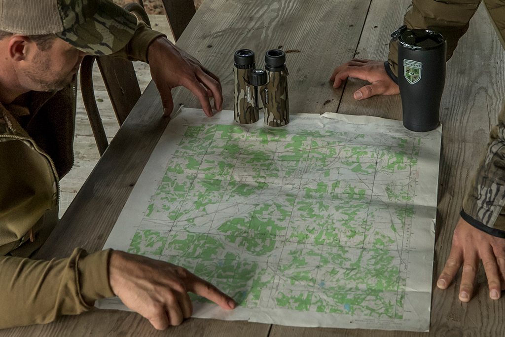
As you locate and hunt new set-ups, use an app like OutdoorMetrix to map and track the “productivity” of each tree stand. That way you can record and analyze the number of deer seen or harvested from the stand, identify the conditions that make that stand hot and use the data to predict when to hit that stand again.




0 Comments